The Unique Maps Co.
Old Map of Carpinteria, California by USGS, 1952 – Summerland, Santa Barbara Coast & Rincon Point
Old Map of Carpinteria, California by USGS, 1952 – Summerland, Santa Barbara Coast & Rincon Point
Couldn't load pickup availability
Published with a 1967 imprint from survey work completed in 1952, the U.S. Geological Survey’s “Carpinteria” captures a richly detailed coastal quadrant of Southern California at the authoritative 1:24,000 scale. Centered on Carpinteria and Summerland, the map presents the region at a moment when citrus groves, beach settlements, rail lines, and the emerging automobile corridor of U.S. Route 101 all shared the narrow shelf between mountain and sea. Its title is spare and official, but the landscape it records is exceptionally evocative: the Pacific Ocean pressing against sandy points and beaches, creeks descending from steep inland ridges, and towns poised between agricultural past and suburban future.
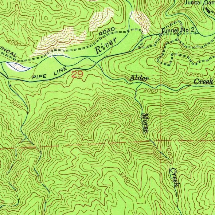
The cartography is classic mid-century USGS: precise, disciplined, and quietly beautiful. Contour lines articulate the terrain with scientific elegance, rising inland from the coastal plain into the rugged foothills and forested high country beyond. Color is used with purpose rather than ornament—blue for watercourses and ocean margins, green for vegetated or designated areas, and carefully differentiated symbols for roads, railroads, buildings, and land use. This visual language gives the map its distinctive charm: every curve of elevation, every drainage, every transportation line contributes to a portrait of place that is both practical and deeply atmospheric.
Carpinteria appears here as a coastal community shaped by water, agriculture, and passage. Carpinteria Creek threads toward the Pacific, while Carpinteria State Beach, Sand Point, and the shoreline at Rincon Point emphasize the area’s intimate relationship with the ocean. Rincon, now legendary in surf culture, sits at the eastern edge of this coastal world, where currents, headlands, and roadways converge. The presence of railroads and U.S. Route 101 underscores the importance of movement through this corridor, linking Santa Barbara, Summerland, Carpinteria, and the coastal settlements beyond in a landscape constrained by mountains on one side and the sea on the other.
Inland, the map turns dramatically upward. The coastal settlements give way to broken slopes, canyons, and mountainous terrain associated with the Los Padres National Forest and the broader Southern California coastal ranges. These elevations are not merely background scenery; they define the region’s hydrology, climate, and settlement patterns. The contour intervals reveal the steepness of the rise from shore to ridge, explaining why development hugged the coast while roads and creeks followed the few natural routes through the land. The contrast between beach, plain, and mountain gives the map a remarkable topographic energy, compressing several distinct California landscapes into a single sheet.
As a historical document, “Carpinteria” offers a compelling view of the area before later decades of expansion and transformation altered the South Coast. The 1952 survey data preserves details of roads, rail alignments, parklands, open tracts, and community footprints as they stood in the early postwar era, when California’s coastal towns were beginning to change rapidly. For admirers of Santa Barbara County, Southern California history, or the art of topographic mapping, this map is more than a geographic reference. It is a finely rendered record of a coastal landscape in transition—scientific in method, elegant in design, and resonant with the layered history of place.
Cities, towns and places on this map
- Carpinteria
- Summerland
- Santa Barbara
- Pacific Ocean
- Santa Monica Mountains
- Los Padres National Forest
- Rincon Point
- Carpinteria State Beach
- Sand Point
- Carpinteria Creek
- U.S. Route 101
- Railroads
- Several parks and reserves indicated on the map
Historical context & cartographic details
- Published by the U.S. Geological Survey (USGS)
- Produced using survey data from 1952 and published with a 1967 imprint
- Historical 1:24,000 topographical map of coastal Southern California
- Features contour lines to represent elevation changes and terrain shape
- Uses color to illustrate vegetation and water bodies
- Green shading indicates land elevation variances
- Represents varied terrain, from coastal areas to mountainous inland regions
- Reflects geographical features as they were in the early 1950s
- Provides insight into historic land use and development patterns that may have changed over time
Looking for a particular place? Review the detailed images to confirm that the town, landmark or feature you have in mind appears on the map. If you are unsure, ask our workshop to check before you order.
Detailed maps are especially rewarding at larger sizes, where names, boundaries and decorative features have more room to be appreciated. Use the close-up preview and size guide to choose the right scale for your wall.
This map looks amazing at sizes all the way up to 50in (125cm). If you are looking for a larger map, please get in touch.
The model in the listing images is holding the 16x20in (40x50cm) version of this map.
Where personalisation is available, you can add a short title or dedication, mark one meaningful place, or request one considered visual detail. See personalised map examples.
Every piece is printed to museum-grade archival standards using fade-resistant pigment inks on acid-free matte paper. Choose an unframed map print, framed map or canvas using the finish options above. Framed maps use crystal-clear optical acrylic and arrive ready to hang.
With its rich detail and strong sense of place, this map makes a considered gift for a new home, anniversary, retirement or anyone with a personal connection to the area shown. Still deciding? Explore our collection of rare old and vintage maps to discover another place, period or style.
Share